Digital Reconstruction and Visualisation of Peshwa Period Water System of Pune
This is MA dissertation project submitted to Deccan College PGRI Pune by Pallavee Gokhale, May 2016.
Peshwa period water supply system of Pune is one of the exemplary examples of engineering, administration and city planning. System of Cistern, Reservoir, Dipping wells (Ooswas), and underground artificial aqueducts (Nal/ Nahar) constituted a dense network and it has worked efficiently since it's incorporation in 1750s till date. Accelerated urbanisation in last few decades has forced many of these components in the state of abandonment or being completely destroyed. Despite this, we find the same being exploited at the time of water crisis.
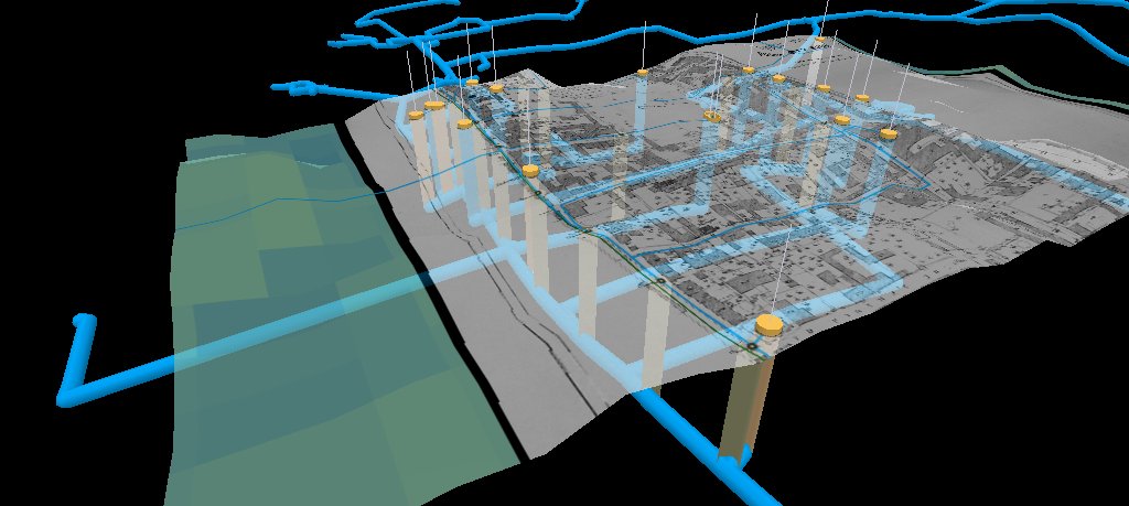
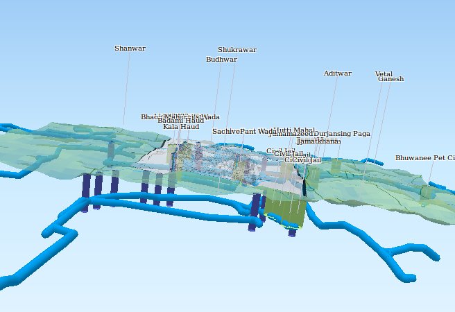
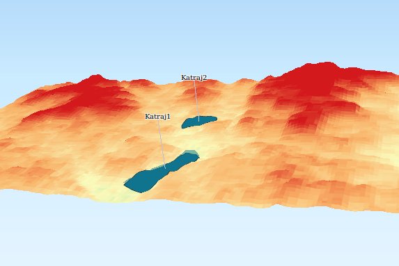
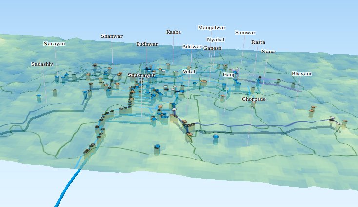
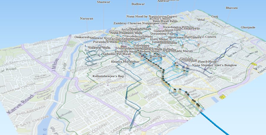
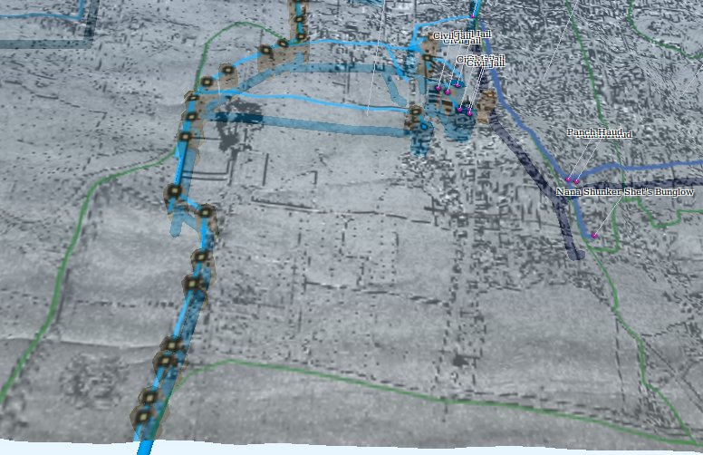
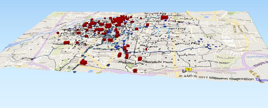
Following pages have interactive digital 3D models of this underground water supply system of 18th Century Pune. It is an effort of virtual reconstruction of the entire system in the Geographic Information System viz. GIS. The models have been built using multiple data sources such as Raster source maps, Bing roadmap, Topography along with vector data of the aqueduct network created by the author. For help in navigation, please use information (i) in the bottom left corner of individual page.
DigDrawDiscover is about Spatial technologies and Archaeology! For more information please contact Pallavee Gokhale on LinkedIn
